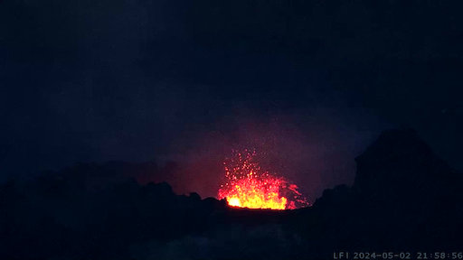
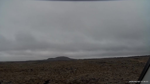
Looking towards the eruption near Sundhnúkagígar, north of Grindavík, from Mt. Þorbjörn. The eruption started December 18th at 22:17:17.
Looking towards Sundhnúkagígagröðin.
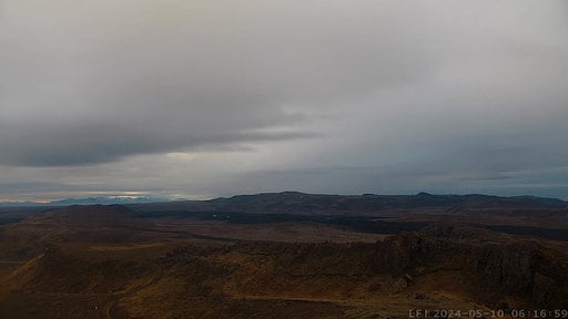
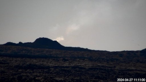
Monitoring Fagradalsfjall from Langihryggur.
Monitoring Fagradalsfjall from Langihryggur. Second view.
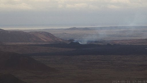
Looking towards Hagafell from Grindavík.
Looking from Þorbjörn over Svartsengi.
Vogastapi looking south towards Grindavík.
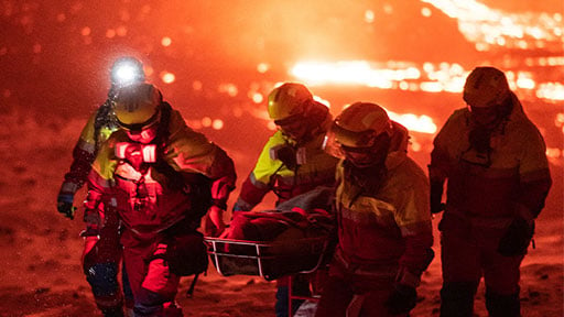
Support the Icelandic Association for Search and Rescue, a non-profit volunteer-based organization that specializes in search and rescue services in Iceland.
Looking from Grænavatnseggjar towards Litli-Hrútur.
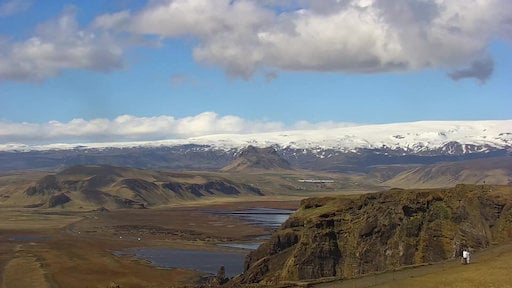
Mýrdalsjökull glacier in the south of Iceland. The icecap covers the notorious Katla volcano.
Katla
Views from around Reykjanes as seen from Reykjanesviti.
Reykjanestá off the south-west coast of Reykjanes peninsula. Eldey, Geirfuglasker, Langagrunn and Reykjaneshryggur.
Mt. Hekla, an active stratovalcano, seen from the town of Hella in south Iceland.