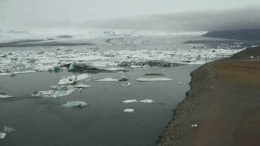
Jökulsárlón is the world’s most famous glacial lagoon with its magnificent icebergs and uniquely blue waters. The deepest lake in Iceland, it’s home to spectral icebergs which make their way into its chilly depths from the Breiðamerkurjökull glacier.
Mýrdalsjökull glacier in the south of Iceland. The icecap covers the notorious Katla volcano.
Katla
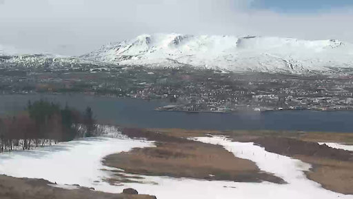
Looking towards Akureyri from across the fjord from Vaðlaheiði. Akureyri is the largest town outside of Iceland’s southwest corner.
Looking towards the eruption near Sundhnúkagígar, north of Grindavík, from Mt. Þorbjörn. The latest eruption started May 29th at 12:50.
Looking towards Sundhnúkagígagröðin.
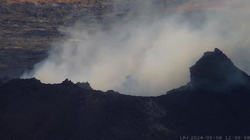
Monitoring Fagradalsfjall from Langihryggur.
Monitoring Fagradalsfjall from Langihryggur. Second view.
Looking towards Hagafell from Grindavík.
Looking from Þorbjörn over Svartsengi.
Vogastapi looking south towards Grindavík.
The Icelandic Parliament, Alþing was formed in Þingvellir in 930 and held sessions there until 1798. First national park of Iceland in 1928. Part of the Golden Circle. View from the visitor center on Haki.
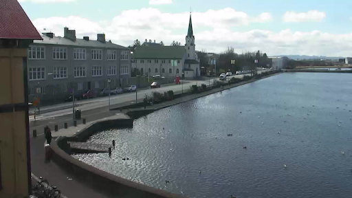
Reykjavík overlooking Tjörnin, Hljómskálagarður and Fríkirkjuvegur. The camera is mounted on Iðnó, built in 1896. Iðnó is next to Reykjavík’s City Hall.
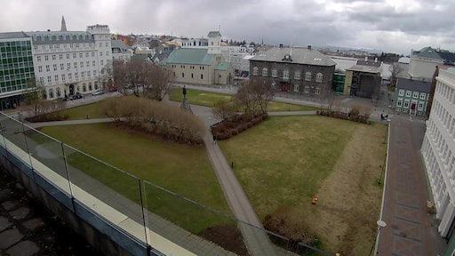
Iceland’s best know public square, Austurvöllur in the centre of Reykjavík. Alþing, the Reykjavík Cathedral and Hótel Borg.
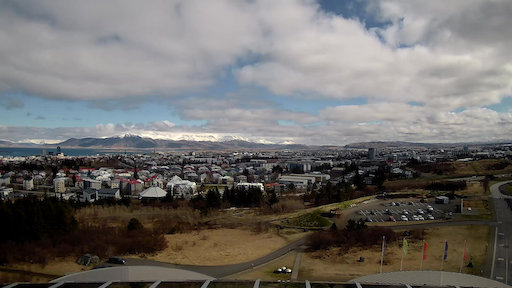
The old city centre, Hallgrímskirkja, Grótta, Akranes and Snæfellsjökull from the top of Perlan.
Reykjavík, Viðey and Mt. Esja from the top of Perlan.
Eastern part of Reykjavík and Kópavogur from the top of Perlan.
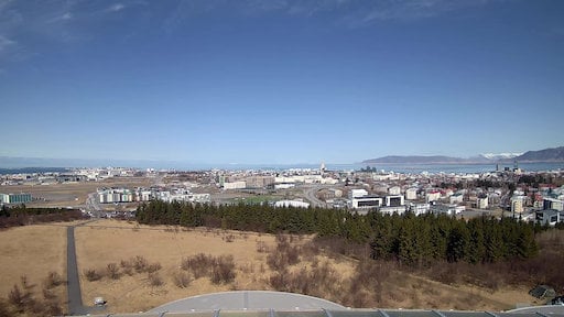
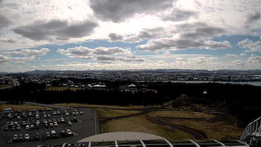
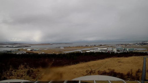
View towards Skerjafjörður and Reykjavík Airport from the top of Perlan.
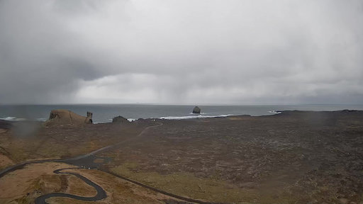
Views from around Reykjanes as seen from Reykjanesviti.
Reykjanestá off the south-west coast of Reykjanes peninsula. Eldey, Geirfuglasker, Langagrunn and Reykjaneshryggur.
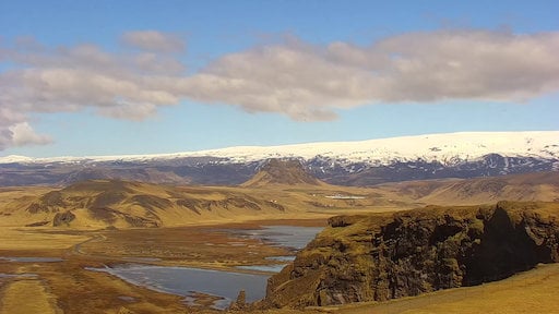
Mt. Hekla, an active stratovalcano, seen from the town of Hella in south Iceland.
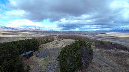
Looking out the center of Skagafjörður from Varmahlíð.
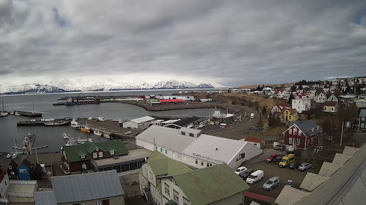
Iceland’s oldest settlement, close to the Arctic circle. Often referred to as the Whale Capital of Iceland with it’s 23 species of whale in or around the bay.
Hella panorama
Selvogur